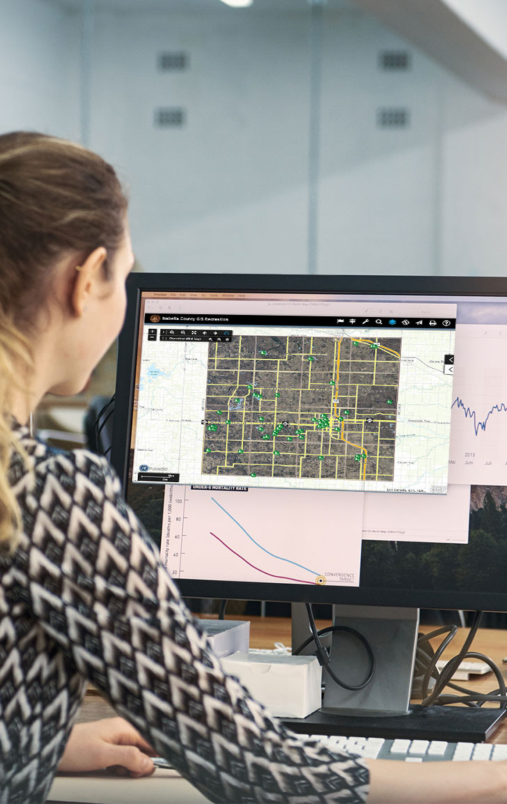
Geographic Information Systems (GIS)
Geographic Information Systems is an organized collection of computer hardware, software, geographic data, and personnel designed to efficiently updates, store, capture, manipulate, analyze, and display all forms of geographically referenced information.
The Isabella County GIS Department was created in 2008 under the Community Development Department to develop, maintain, analyze GIS data and to promote the use of GIS within the County.
The GIS department provides maps and support to county departments with mapping applications. This allows county employees to:
- Make better decisions with more data at their fingertips
- Allocate resources more effectively
- Quicker response time for Emergency Services
- Disseminate data in an efficient and timely manner
- Allow members of the public to view property information.
Common GIS Uses:
- Supports economic development activities.
- Supports public safety activities like 911 dispatching and disaster planning.
- Supports land records management.
- Supports drain planning, engineering, and site plan development.
The Isabella County GIS department makes several types of GIS data available for purchase. Some of these types of data are:
- Aerial Imagery
- LiDAR
- Parcel Data
- Road Centerlines
- Click on the GIS Data for Purchase page for more information.


